 |
||
|
|
||
|
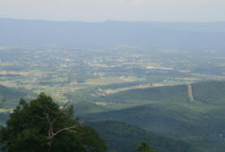
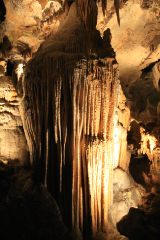
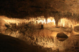
The Skyline Drive was a work-creation project in the Depression. A 105 mile drive was created along the top of a ridge which forms part of the Appalachian Mountains. Nowadays it forms the spine of the Shenandoah National Park. Essentially it's a single carriageway road, with lots of viewpoints (known as overlooks). There are also a few visitor centres with restaurants etc, a few lodges, and campgrounds. The Appalachian Trail runs close to the road through most of the park, and there are lots other walks. Since the Parks Service has managed the park much of the native wildlife has returned, including bears and deer. We saw both, and also groundhogs and chipmunks. We drove from Washington to Front Royal, the northern end of the drive. After doing a few things in Front Royal we spent Friday 27th June driving down as far as Luray - about 35 miles. At Luray we visited the caverns - absolutely the best caverns we've ever been in. We walked about a mile and a quarter, and went down about 160 ft. On Saturday we drove the remaining 70 miles, stopping off to do a walk to Dark Hollow Falls. It's not rapid progress on the road as the limit is 35mph, and it's enforced! We saw someone pulled. Loads of large birds were evident the whole way – probably turkey buzzards. Roadside flowers were full of butterflies of varying sizes and colours. Essentially the views stay the same, ie rolling tree covered hills/mountains leading down to the flat river valley farmland with more hills in the background. Not spectacular but very nice and a pleasant way to spend a couple of days pottering in the car. |
||
|
|
 |
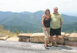 |
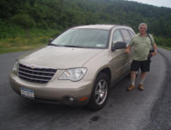
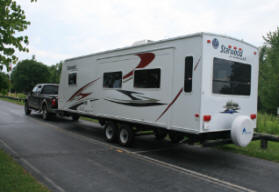
| Les by our Chrysler Pacifica | Caravanning US style | Us at a mountain overlook |
|
|
 |
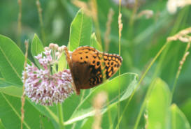 |
| Typical view over Shenandoah Valley | Luray Caverns - reflections in a pool | A monarch butterfly on milkweed |
|
|
|
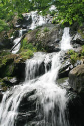 |
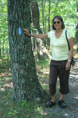
| Anne by a trail marker | Luray Caverns | Dark Hollow Falls |
|
|
||